
On November 13, 2025, Google DeepMind and Google Research released Natural Forests of the World 2020, a global AI-based map that distinguishes natural forests from other tree cover. Developed with the World Resources Institute and the International Institute for Applied Systems Analysis, the work is peer-reviewed in Nature Scientific Data. The map is accessible via the Earth Engine data catalog and downloadable probability maps. See the official announcement.
Natural Forests of the World 2020
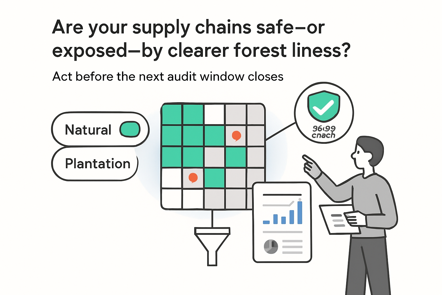
The dataset provides a globally consistent 10 meter baseline for 2020, estimating the probability that each pixel represents natural forest. It was produced using seasonal Sentinel-2 imagery, topography, and location signals, processed with a multi-modal temporal-spatial vision transformer.
- Reported accuracy: 92.2 percent using a global independent dataset for validation.
- Model: multi-modal temporal-spatial transformer analyzing seasonal imagery, topography, and geolocation.
- Training data: more than 1.2 million patches sized 1,280 by 1,280 meters at 10 meter resolution.
- Output: a seamless global probability map at 10 meter resolution reflecting 2020 conditions.
- Access: Earth Engine data catalog and Figshare Dataset.
- Publication: peer-reviewed Paper in Nature Scientific Data.
Background and policy context
Most global products map tree cover without separating plantations from long-standing ecosystems. This baseline targets natural forests specifically, reducing that conflation.
The European Union Regulation on Deforestation-free Products sets a 31 December 2020 cutoff for commodities including coffee, cocoa, rubber, timber, and palm oil. Details are available from the European Commission: European Union Regulation on Deforestation-free Products. The new map reflects 2020 conditions, supporting monitoring against policy cutoffs and baselines. Forests also host much of the planet’s land-based species, underscoring their relevance to biodiversity goals highlighted around COP30.
Availability and roadmap
Google published supporting tools and code, including the data generation library Data generation library and the modeling library Modeling library. An interactive viewer is available: Demo script. For platform context, see Google Earth Engine and Google Earth AI, plus related mapping research in AlphaEarth Foundations.
The team announced a multi-year series of forest type maps covering six land classes, with the next release expected in 2026. Additional resources include:
- Dataset - 10 m probability maps for download.
- evaluation dataset - validation data supporting the reported accuracy.
- Planted dataset - 2.3 million time series examples.
- Forest Typology - ForTy benchmark with 200,000 labeled multi-temporal image patches.
Why it matters
- Compliance readiness: a 2020 baseline helps assess supply chains against the EUDR cutoff.
- Risk screening: distinguishing natural forests from plantations improves targeting of deforestation risks.
- Transparency: open data, code, and validation artifacts support independent assessment and reproducibility.
- Operational use: the layer is served via Earth Engine for analysis and integration into workflows.


.svg)

.svg)
.svg)