
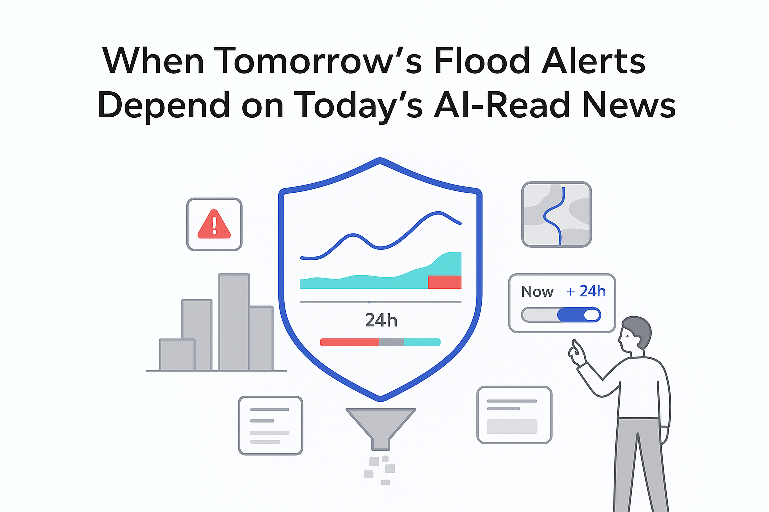
Google Research has announced new AI-based urban flash flood forecasting that extends its Flood Hub platform with 24 hour flash flood risk predictions for cities worldwide. The system, unveiled on March 12, 2026, uses a training approach that converts news reports into historical flood event data.
Key details on AI-driven flash flood forecasting
Urban Flash Flood forecasts are now visible on Google's Flood Hub interface for supported locations. The model estimates whether a flash flood is likely within the next 24 hours, using grid cells measuring 20 by 20 kilometers.
- Forecasts focus on areas with population density above 100 people per square kilometer.
- Inputs include global precipitation datasets such as NASA IMERG and NOAA CPC.
- The system also ingests forecasts from the ECMWF Integrated Forecast System (IFS) High Resolution (HRES) atmospheric model and an AI-based medium-range global weather forecasting model by Google DeepMind.
- Groundsource, a new AI-powered methodology, uses Google's Gemini model to review flood reports and extract dated events for training.
- The neural network uses a recurrent neural network architecture based on long short-term memory (LSTM) units, combined with static features such as topography, urbanization, and soil absorption.
Google evaluated the model against the Groundsource dataset of historical flood events. Because many real floods never reach the media, some accurate alerts appear as false positives in reported precision metrics. A manual audit of 100 alerts per continent found that many of these alerts matched verified flood incidents.
Recall was assessed using events from the Global Disaster Awareness and Coordination System database. Google reports that precision and recall levels in parts of South America and Southeast Asia match those in higher income countries. For some African countries, limited ground truth data still prevents reliable country level accuracy estimates.
Google also compared performance with United States National Weather Service Flash Flood Warnings. Using the same 20 by 20 kilometer grids and 24 hour windows, NWS recall measured 22 percent and precision measured 44 percent, with similar underestimation issues from unreported flood events.
Google places this launch within its Google Earth AI geospatial portfolio and its Crisis Resilience initiative. The company says it is working on rural coverage, finer resolution, and additional near real time weather inputs.
Background context on flash floods and early warning
The World Meteorological Organization reports that flash floods cause about 85 percent of flood related fatalities and over 5,000 lives annually. WMO notes that these events can develop within six hours of intense rainfall in many cases. Research on flash flood early warning systems suggests that providing 12 hours of warning can deliver around a 60% reduction in damage.
Despite this, WMO highlights a wide warning gap between developed and developing countries. Less than half of developing countries currently have multi hazard early warning systems in place.
Google's Flood Forecasting Initiative first focused on riverine floods, where rivers overflow their banks gradually. Models trained on data from stream gauges now extend forecasts to ungauged river locations, covering more than 2 billion people across 150 countries.
Urban flash floods pose different challenges because they can occur far from gauges and depend on city drainage infrastructure. Building detailed hydrological models for every city would require heavy computation and dense local measurements. Specialized city systems and regional tools such as WMO's Flash Flood Guidance System and NWS flash flood warnings, along with other regional indicators, address parts of this gap, with examples in sensor based urban early warning deployments.
Source citations
The following official resources contain the primary announcements, datasets, and technical documentation referenced above.
- Google Research blog announcement on urban flash flood forecasting.
- Urban Flash Flood forecasts research paper and technical appendix.
- Groundsource, a new AI-powered methodology for news based flood extraction.
- Groundsource historical flood dataset on Zenodo and its citable DOI version.
- World Meteorological Organization materials on flash floods and early warnings.
- NASA IMERG and NOAA CPC global precipitation datasets.
- ECMWF Integrated Forecast System (IFS) High Resolution (HRES) atmospheric model documentation.
- AI-based medium-range global weather forecasting model by Google DeepMind.
- WMO's Flash Flood Guidance System overview.
- European Runoff Index based on Climatology dataset as an example of regional flash flood indicators.


.svg)

.svg)
.svg)